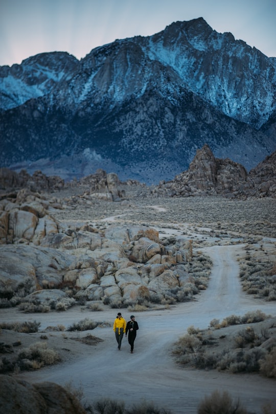
Travel Guide of Lone Pine in United States by Influencers and Travelers
Lone Pine is a census designated place in Inyo County, California, United States. Lone Pine is located 16 miles south-southeast of Independence, at an elevation of 3,727 feet. The population was 2,035 at the 2010 census, up from 1,655 at the 2000 census.
Pictures and Stories of Lone Pine from Influencers
2 pictures of Lone Pine from Robson Hatsukami Morgan, adrian, and other travelers
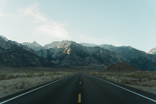
- Road to the highest peak in the continental US, Mt Whitney. ...click to read more
- Experienced by @adrian | ©Unsplash
Plan your trip in Lone Pine with AI 🤖 🗺
Roadtrips.ai is a AI powered trip planner that you can use to generate a customized trip itinerary for any destination in United States in just one clickJust write your activities preferences, budget and number of days travelling and our artificial intelligence will do the rest for you
👉 Use the AI Trip Planner
The Best Things to Do and Visit around Lone Pine
Disover the best Instagram Spots around Lone Pine here
1 - Alabama Hills
The Alabama Hills are a range of hills and rock formations near the eastern slope of the Sierra Nevada in the Owens Valley, west of Lone Pine in Inyo County, California.
Learn more Book this experience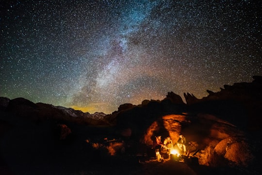

2 - Whitney Portal
11 km away
Learn more
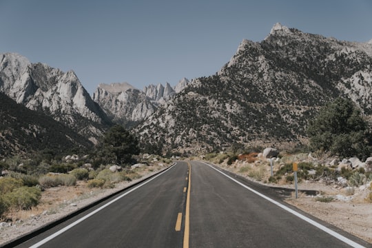

3 - Mount Whitney
21 km away
Mount Whitney is the tallest mountain in the contiguous United States and the Sierra Nevada, with an elevation of 14,505 feet. It is in East–Central California, on the boundary between California's Inyo and Tulare counties, 84.6 miles west-northwest of North America's lowest point, Badwater Basin in Death Valley National Park, at 282 ft below sea level.
Learn more Book this experience

4 - Sierra Nevada
21 km away
The Sierra Nevada is a mountain range in the Western United States, between the Central Valley of California and the Great Basin. The vast majority of the range lies in the state of California, although the Carson Range spur lies primarily in Nevada.
View on Google Maps Book this experience
5 - Death Valley National Park
28 km away
Death Valley National Park is an American national park that straddles the California–Nevada border, east of the Sierra Nevada.
Learn more Book this experience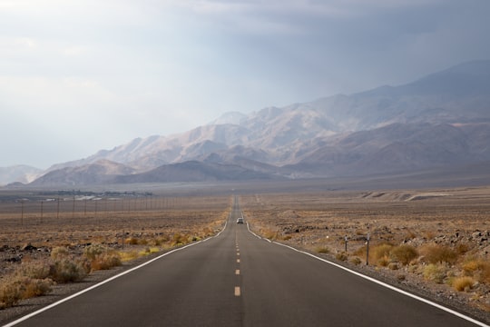
Book Tours and Activities in Lone Pine
Discover the best tours and activities around Lone Pine, United States and book your travel experience today with our booking partners
Where to Stay near Lone Pine
Discover the best hotels around Lone Pine, United States and book your stay today with our booking partner booking.com
More Travel spots to explore around Lone Pine
Click on the pictures to learn more about the places and to get directions
Discover more travel spots to explore around Lone Pine
Adventure spots ️🏜️ Badlands spots 🏕️ Camping spots ❄️ Glacial landform spots ⛰️ Mountain spots 🛣️ Road trip spotsTravel map of Lone Pine
Explore popular touristic places around Lone Pine
